Services

Land Surveying

Precision is the foundation of every project we touch. At 218 Surveying, we handle everything from initial boundary identification to complex construction layouts and comprehensive project management. We are the trusted partner for residential and commercial developments across Northern Minnesota, helping property owners resolve boundary disputes and providing the technical data needed to move from a concept to a finished build.

Mapping & GIS Solutions

Using state-of-the-art technology and high-end CAD software, we create detailed visual representations of your land. Our mapping services provide a clear, bird’s-eye view of your property’s features, allowing you to make smarter decisions before the first shovel hits the ground. From high-resolution image-based maps to large-scale township and topographic surveys, we provide the clarity required to start your project on a solid footing.

Land Development & Planning

Navigating the hurdles of re-zoning or land subdivision requires more than just measurements—it requires a strategy. 218 Surveying helps you navigate the complexities of local ordinances and subdivision reviews to keep your project on schedule and within budget. Whether you are developing a commercial site or a private residential lot, our team provides the professional insight needed to avoid costly regulatory delays and ensure your investment is protected.

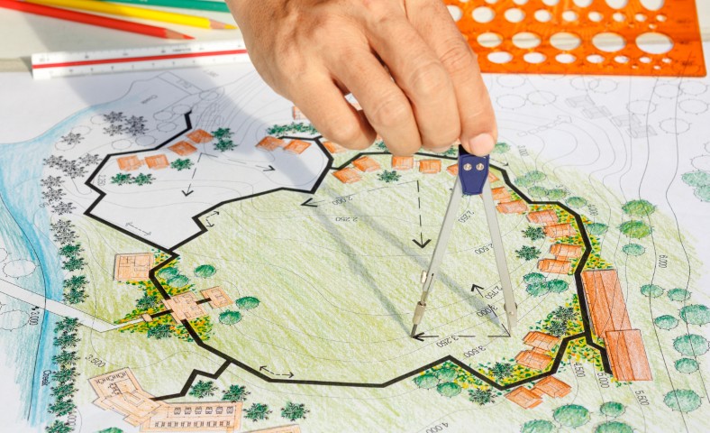
Environmental & Regulatory Services

Developing property near Minnesota’s lakes and wetlands involves a unique set of responsibilities and regulations. We specialize in floodplain regulation and wetland mitigation, ensuring your project remains compliant with environmental standards. With our deep background in environmental services management, we take the complexity out of eco-system protection, allowing you to develop your land responsibly and with total peace of mind.